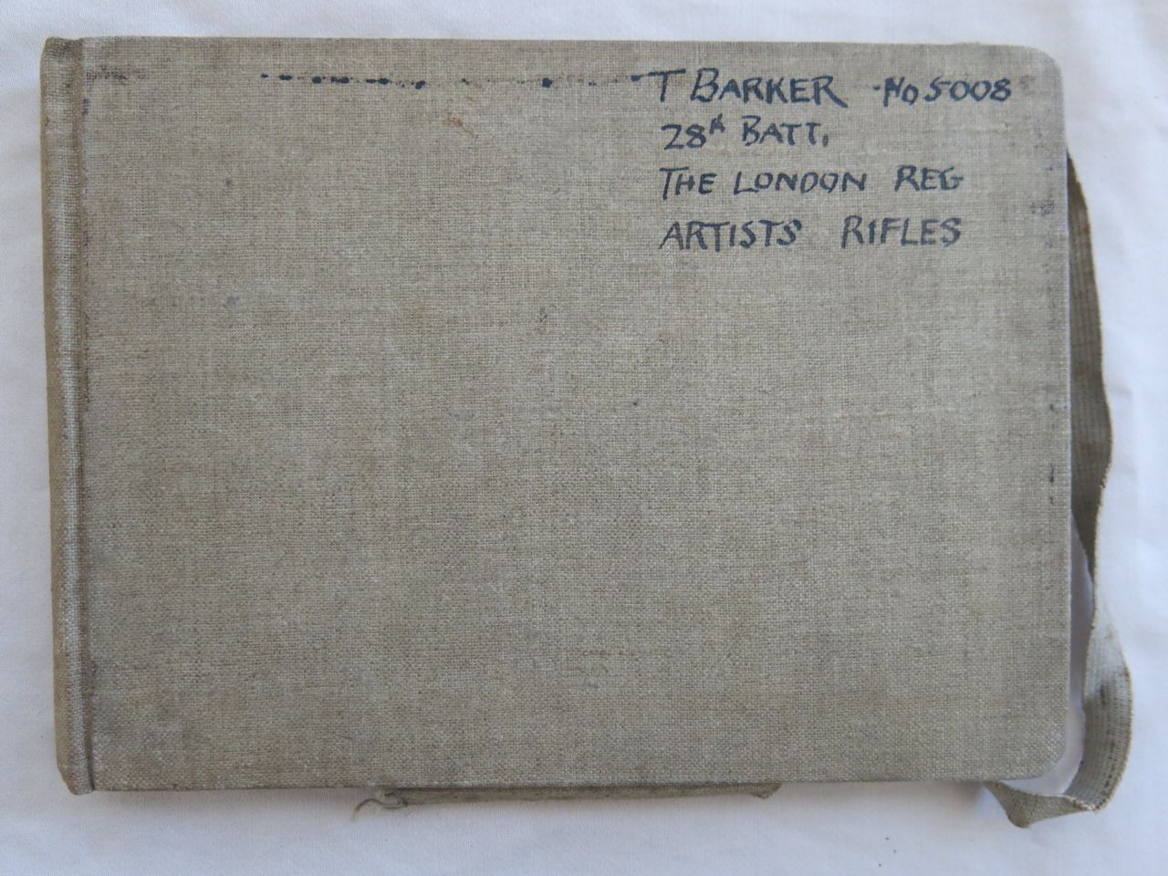
Theo Barker's map-making manual
Symbols used in military map-making
 A sample military map, presumably for teaching purposes.  Note: a sheet of white paper is temporarily placed behind the tracing paper to show the outlines clearly, in this and subsequent pages.    
  Method of using protractor in making sketch map from bearings taken by means of compass & by pacing out.
THEO models 4.jpg
  A brick & stone bridge crosses a railway. The railway at this pt runs thro a cutting. The pathway is 20' above sea level. The bearing of the railway is 40 (degrees) Mag. The diameter of the contour taken on the bearing of 40 (degrees) mag is 30
THEO models 6.jpg
THEO models 7.jpg
THEO models 8.jpg
THEO models 9.jpg
prev / next